Every METAR ends with the letters RMK, a dividing line between the standardized body of the report and a section packed with additional detail that automated and human observers append to give pilots a more complete picture of surface conditions. For most student pilots, the remarks section is an afterthought—a string of cryptic codes sitting after the altimeter setting. In reality, it contains some of the most operationally valuable data in the entire report: precise sea-level pressure, exact temperatures to the nearest tenth of a degree, precipitation totals, rapid pressure-change alerts, and the direction and distance of lightning. Understanding how to decode RMK is not just a knowledge-test requirement; it is a genuine safety skill.
This article grounds itself in FAA Aviation Weather Handbook FAA-H-8083-28B, Chapter 24, which governs the format and content of METARs and SPECIs as used in the United States. While many modern briefing apps decode METARs into plain language, the handbook explicitly notes that pilots must still be able to decode the coded report whenever a plain-language version is unavailable.
Where Remarks Come From: ASOS, AWOS, and Human Observers
The content and quantity of remarks depend on who—or what—is generating the report. The Automated Surface Observing System (ASOS), a joint program of the NWS, FAA, and DOD, is the nation's primary surface observing network. ASOS automatically detects significant changes and disseminates both hourly observations and special reports (SPECIs) when conditions cross preset thresholds—for example, when visibility drops below 3 statute miles. ASOS also transmits computer-generated voice observations over FAA ground-to-air radio and by telephone. An ASOS-generated METAR is identified in the remarks by the code AO2, indicating an automated station equipped with a precipitation discriminator (able to distinguish liquid from frozen precipitation). An older automated sensor without that discriminator uses AO1.
The Automated Weather Observing System (AWOS) is similar in concept but generally reports fewer elements. AWOS generates a METAR at 20-minute intervals and does not issue SPECIs, an important distinction. It comes in several tiers—AWOS-A (altimeter only) through AWOS-4 (full suite including freezing rain)—so the remarks an AWOS produces depend entirely on which sensors are installed. An AWOS-3PT, for instance, adds precipitation-type and thunderstorm/lightning sensors, enabling it to report lightning in remarks. When a human observer augments an automated station, the word AUTO is removed from the report body, and the remarks may reflect the observer's judgment on elements the sensors cannot assess well—such as the actual type of precipitation or the presence of a tornado.
A critical nuance from the handbook: automated stations substitute time averaging for the spatial averaging a human observer performs. Sky condition is evaluated from sensor data gathered over the 30-minute period ending at observation time. All other elements use data within 10 minutes of observation time. This means an ASOS or AWOS report is not a snapshot of this exact instant—if dense fog suddenly dissipated, it could take up to 10 minutes for the one-minute observation (OMO) to reflect VFR conditions.
How Remarks Are Structured
Remarks generally follow a loose but conventional order, starting with automated-station type, then sea-level pressure, then precipitation and temperature data, and finally event-based remarks such as peak wind or lightning. Not every remark appears in every METAR; remarks are included only when the relevant sensor has data or when a threshold is crossed.
Station Type: AO1 and AO2
AO1 means the automated station has no precipitation discriminator and cannot tell rain from snow. AO2 means it does have a discriminator. This matters when evaluating icing or snow-accumulation risk: an AO1 station reporting precipitation in cold temperatures may be masking the precipitation type entirely.
Sea-Level Pressure (SLP)
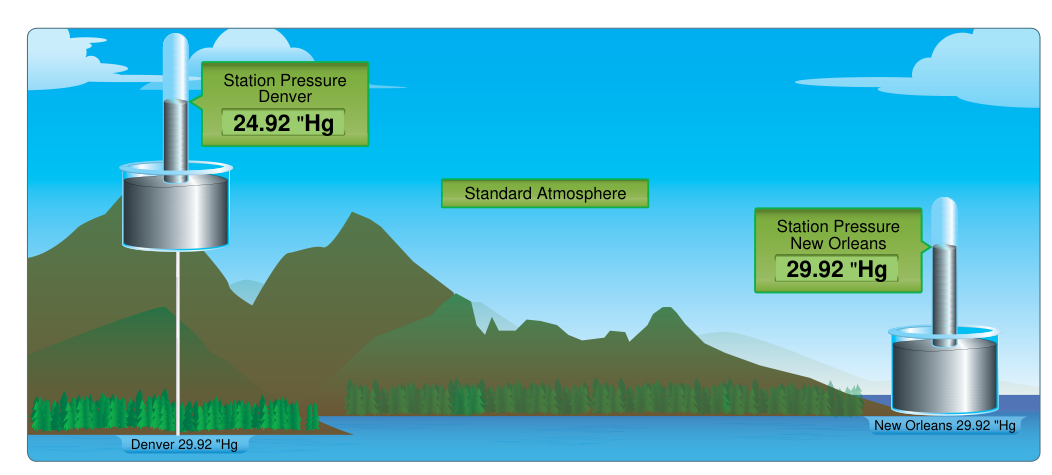
The body of the METAR gives the altimeter setting in inches of mercury (e.g., A2992), which is what pilots set in the Kollsman window. The remarks add sea-level pressure (SLP) in hectopascals (millibars) for meteorological use. The code SLP132 means 1013.2 hPa. To decode: prefix the three-digit group with whichever of 9 or 10 places the resulting value nearest standard sea-level pressure (1000.0 hPa)—for example, SLP982 = 998.2 hPa (9-prefix) and SLP132 = 1013.2 hPa (10-prefix). There is no fixed hPa cutoff; the choice of prefix is simply whichever produces a plausible sea-level pressure close to 1000 hPa, so groups roughly above the 50s take the 9-prefix and groups roughly below take the 10-prefix. The example METAR in the handbook's Table 24-1—KPNS 030053Z 36005KT 10SM CLR 30/23 A2992 RMK AO2 SLP132 T03000233—shows altimeter 29.92 inHg alongside SLP 1013.2 hPa, confirming they describe the same pressure from different perspectives.
Precise Temperature and Dewpoint (T-Group)
The main body reports temperature and dewpoint rounded to the nearest whole degree Celsius (e.g., 30/23). The remarks group beginning with T provides those values to the nearest tenth: T03000233 means temperature +30.0 °C and dewpoint +23.3 °C. The format is T, then four digits for temperature (first digit 0 = positive, 1 = negative), then four digits for dewpoint (same sign convention). So T10171028 would mean temperature −1.7 °C, dewpoint −2.8 °C. This precision matters for icing assessments and for verifying that the temperature/dewpoint spread is as tight as it appears in the body.
Precipitation Amount
Hourly precipitation is reported as P followed by four digits in hundredths of an inch. P0012 means 0.12 inches fell in the past hour. A trace is reported as P0000. Six-hourly and 24-hourly totals appear as 6 and 7 groups, respectively, in the same hundredths format.
Pressure Tendency and Rapid Changes
The remark PRESRR (pressure rising rapidly) or PRESFR (pressure falling rapidly) alerts pilots to dramatic pressure changes—typically 0.06 inHg or more in less than two hours. Rapid pressure falls often precede severe weather; rapid rises can signal an approaching cold front after a storm. The 3-hour pressure change is also encoded as the 5-group (e.g., 58033), but that level of decoding is more relevant to meteorologists than line pilots.
Peak Wind
PK WND followed by direction, speed, and time (e.g., PK WND 28045/1732) means the peak wind gust since the last routine observation was from 280° at 45 knots, occurring at 1732Z. This remark is required whenever the peak gust exceeds the reported gust or whenever there was a gust event between routine observations. For crosswind calculations and go/no-go decisions, the peak wind may be more operationally meaningful than the averaged wind in the body.
Wind Shift
WSHFT followed by time (e.g., WSHFT 1715) indicates that wind direction changed by 45° or more, sustained for two minutes or more, at that time. Wind shifts often accompany frontal passages or outflow boundaries from thunderstorms and can dramatically change the favored runway and crosswind component.
Variable Sky Condition and Visibility
When the sky layer is variable, the remark reads BKN V OVC (broken variable to overcast) or similar. Variable visibility is noted as VIS 1/2V2 (visibility varying between ½ and 2 miles). These remarks are critical for IFR operations where a ceiling or visibility hovering near minimums may oscillate above and below the approach minimum.
Thunderstorms and Lightning
When lightning is detected but no thunderstorm is occurring overhead, ASOS and appropriately equipped AWOS (AWOS-3T or AWOS-3PT) encode it in remarks. The format is LTG followed by type and direction. Lightning type abbreviations include: DSNT (distant, more than 10 miles), AP (anvil-to-positive cloud-to-ground), IC (in-cloud), CC (cloud-to-cloud), and CG (cloud-to-ground). Directions use compass points: N, NE, E, SE, S, SW, W, NW, and ALQDS (all quadrants). A remark of LTG DSNT SW AND W tells you that lightning is occurring more than 10 miles to the southwest and west—a vivid warning that convective activity is nearby. When a thunderstorm is actually occurring at the station, TS already appears in the body of the report as present weather; the RMK section may then add TS B15 (thunderstorm began at 15 minutes past the hour) or TS E40 (ended at 40 minutes past).
Why Remarks Matter Operationally
The remarks section bridges the gap between regulatory minimums and real-world conditions. Consider a METAR showing ceilings at 1,200 feet with visibility 3 miles—technically legal for a VFR flight under Part 91 in many airspace classes—but the remarks reveal PRESFR, LTG DSNT NW, and WSHFT 45 minutes ago. That picture is radically different from the body alone. Similarly, the precise temperature from the T-group may reveal the temperature is −1.7 °C rather than the 0 °C suggested by rounding, placing the aircraft squarely in the most efficient icing range (0 to −20 °C) rather than on the borderline.
For instrument pilots, SLP confirms the altimeter setting and provides a cross-check. For dispatchers and airline operations under 14 CFR Part 121 or 135, SLP is used in weather trend analysis. For any pilot planning departure, arrival, or an alternate, the full suite of remarks converts a snapshot into a storyline.
Key Numbers and Rules
- AO2 vs. AO1: AO2 has a precipitation discriminator; AO1 does not.
- SLP decoding: Prefix the three-digit group with 9 or 10, whichever yields a value closest to standard sea-level pressure (1000.0 hPa)—there is no fixed hPa cutoff. Divide the last digit by 10 to get tenths.
- T-group sign: 0 = positive temperature, 1 = negative temperature.
- PRESRR/PRESFR threshold: approximately 0.06 inHg change in under 2 hours.
- Lightning distance—DSNT: more than 10 statute miles from the station.
- Sky condition averaging: 30 minutes; all other automated elements: 10 minutes.
- AWOS report interval: every 20 minutes, no SPECIs; ASOS: hourly plus SPECIs as triggered.
- FG vs. BR: FG when visibility below 5/8 sm; BR when 5/8 to less than 7 sm and temp/dewpoint spread ≤4 °F (≈2 °C); HZ otherwise in that visibility range.
Common Test Traps
- Confusing altimeter setting with SLP: The body gives altimeter in inHg; SLP in remarks is in hPa. They represent the same pressure but in different units and formulations—never substitute one for the other in the Kollsman window.
- Misreading the T-group sign: A leading 1 in the temperature group means negative, not a digit of the temperature value. T10171028 = −1.7 °C / −2.8 °C, not +101.7 °C.
- Assuming LTG DSNT means safe: Distant lightning can rapidly close to overhead. It signals an active convective cell within roughly 10–25 miles—not a green light to continue VFR toward it.
- Treating AWOS like ASOS: AWOS does not issue SPECIs and may lack sensors for precipitation type or lightning (unless AWOS-3PT or AWOS-4). Assuming a full weather picture from an AWOS-1 or AWOS-2 can leave critical elements unreported.
- Ignoring time-averaging lag: A rapidly improving METAR may still reflect conditions from up to 30 minutes ago for clouds and 10 minutes for visibility. Do not assume an improving METAR means current conditions are already at the reported values.