When a pilot checks a METAR and sees a temperature of 35 °C, that number represents far more than a measure of personal comfort. It is a window into the microscopic world of molecular motion — the very engine that drives convective turbulence, thunderstorm development, density altitude changes, and every other atmospheric phenomenon that affects flight safety. Understanding the difference between heat and temperature, and appreciating how energy moves through the atmosphere, gives pilots a conceptual foundation for interpreting weather that no checklist alone can provide.
The FAA Aviation Weather Handbook (FAA-H-8083-28B), Chapter 5, grounds this understanding in physics, starting with matter, energy, and working up through the mechanisms of atmospheric warming. This article unpacks that progression in depth.
Matter, Energy, and Molecular Motion
All physical objects — the air around an aircraft, the runway surface, the ocean below — are composed of matter: atoms and molecules that occupy space and have mass. Those atoms and molecules are never truly still. They vibrate, rotate, and translate through space continuously, and this constant motion is the root source of all thermal behavior in the atmosphere.
Energy is defined as the ability to do work. It exists in multiple forms and converts readily between them. A classic example: a ball sitting at the top of a slide possesses potential energy (energy of position). The moment it begins rolling, that potential energy converts to kinetic energy — the energy of motion. At the molecular level, atoms and molecules carry kinetic energy simply because they are always moving. The faster they move, the higher their kinetic energy. This concept is the direct physical basis for both heat and temperature.
Heat vs. Temperature: The Critical Distinction
Heat is the total kinetic energy of all the atoms and molecules in a substance. Because not every molecule in any sample moves at exactly the same speed, heat represents the sum across an entire distribution of molecular speeds and energies — some molecules moving quickly, some slowly, most somewhere in between.
Temperature, by contrast, is a numerical value representing the average kinetic energy of those molecules. A higher temperature means the molecules are moving faster on average; a lower temperature means they are moving more slowly on average. Temperature is therefore an indicator of the internal energy of air — it tells us about the typical behavior of molecules, not the cumulative total.
This distinction has practical consequences. A large volume of cool air can contain more total heat energy than a small volume of warm air, even though the warm air has a higher temperature. Pilots encounter this indirectly when considering how the atmosphere absorbs and releases energy at different scales — a sprawling maritime air mass may hold enormous total heat even though its temperature seems moderate.
Temperature Scales Used in Aviation
Three temperature scales appear in aviation and meteorology, and knowing how they relate is both a practical necessity and a common exam topic.
- Celsius (°C): The standard scale for aviation weather worldwide and the only unit used in METAR reports. The scale is anchored to water: 0 °C marks the freezing point and 100 °C marks the boiling point, both measured at standard sea-level pressure. Aviation weather reporting in the United States transitioned to Celsius as part of the move to the METAR format. Any Fahrenheit values seen in weather apps are the result of conversion software — the raw METAR always states temperature in degrees Celsius.
- Fahrenheit (°F): Still used for everyday purposes in the United States outside of aviation. Freezing water is 32 °F; boiling water is 212 °F. Pilots must be comfortable converting between Celsius and Fahrenheit: [°F] = ([°C] × 9/5) + 32 and conversely [°C] = ([°F] − 32) × 5/9. For temperature intervals (not fixed points), a change of 1 °C equals a change of 1.8 °F.
- Kelvin (K): The thermodynamic (absolute) scale used by scientists. Its zero point — absolute zero (0 K) — is the theoretical state where all molecular motion ceases and there is a complete absence of thermal energy. Because nothing can be colder than absolute zero, the Kelvin scale contains no negative numbers. Each degree on the Kelvin scale is identical in size to a degree on the Celsius scale, making conversion straightforward: [K] = [°C] + 273.15. Absolute zero equals approximately −273.15 °C or −459.67 °F. The Kelvin scale is a direct, linear measure of average molecular kinetic energy — making it the most physically meaningful scale of the three.
A thermometer changes its reading when heat is added to or removed from it. This reinforces the relationship: heat and temperature are connected but distinct. Adding heat raises temperature; removing heat lowers it. However, during phase changes (ice melting to water, for example), heat is absorbed or released without any change in temperature — a phenomenon known as latent heat that plays a major role in storm development.
How the Atmosphere Warms: Heat Transfer
Heat transfer is the movement of energy that results from a temperature difference. Heat always flows from a warmer body to a cooler one — never the reverse — and it continues until both reach the same temperature, a state called thermal equilibrium. Importantly, where a temperature difference exists, heat transfer cannot be stopped entirely; it can only be slowed. This principle underlies every atmospheric temperature gradient a pilot flies through.
The Sun is the ultimate heat source for Earth's surface and atmosphere. Solar energy travels through the vacuum of space and through the atmosphere to reach the surface. Once absorbed, some of that energy becomes heat, warming both the surface and the air above it. The atmosphere is warmed by three mechanisms — often acting in combination:
Radiation
Radiation is the transfer of heat energy through space via electromagnetic waves, which travel at the speed of light. The electromagnetic spectrum spans gamma rays (shortest wavelength, highest frequency) through radio waves (longest wavelength, lowest frequency), with ultraviolet, visible light, and infrared in between.
All objects emit radiation in proportion to their temperature, and the wavelength of peak emission is inversely related to temperature: hotter objects emit shorter wavelengths, cooler objects emit longer wavelengths. The Sun, being extremely hot, has its peak emission in the visible spectrum, though it also radiates significant energy at ultraviolet and infrared wavelengths. Earth's surface, being much cooler, radiates primarily in the infrared spectrum (long wavelengths) — this is called terrestrial radiation.
Surface characteristics matter: dark-colored surfaces such as asphalt absorb more incoming solar radiation and warm more rapidly than light-colored surfaces. They also re-radiate that energy more quickly. This differential heating of surfaces is a major driver of localized convective activity — a sun-baked asphalt taxiway or dark plowed field can generate a thermal strong enough to cause low-level turbulence on an otherwise smooth day.
Solar Zenith Angle and Insolation
The intensity of solar radiation reaching the surface — called insolation — varies with the solar zenith angle, which is the angle between the Sun and a point directly overhead (the zenith). When the Sun is directly overhead (zenith angle = 0°), solar energy strikes the surface at maximum concentration and intensity. As the zenith angle increases (Sun lower in the sky), the same amount of solar energy is spread over a larger surface area, reducing intensity per unit area. Additionally, at higher zenith angles, sunlight must pass through a greater thickness of atmosphere, increasing the opportunity for scattering and absorption before reaching the ground.
This is why tropical latitudes are generally warmer than polar latitudes, why summer days produce stronger surface heating than winter days, and why surface temperatures peak in the early-to-mid afternoon rather than at solar noon — the surface continues absorbing heat even after the Sun begins its descent. Pilots operating in mountainous terrain or over varied surface types must account for these insolation differences when anticipating thermal activity, afternoon convection, and density altitude fluctuations.
Conduction and Convection
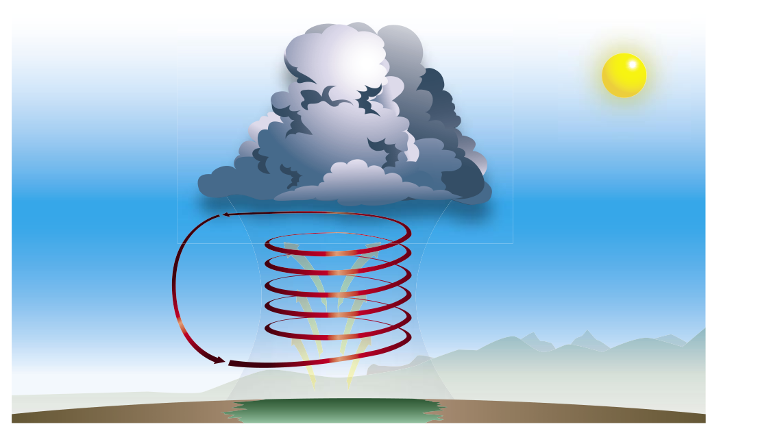
Conduction is the transfer of heat through direct molecular contact — the Sun-warmed pavement heating the thin layer of air immediately above it is a textbook example. Air is a poor conductor, so conductive heating of the atmosphere is limited to a very shallow surface layer. Convection takes over from there: that heated surface air becomes less dense and rises, carrying heat upward through the atmosphere as vertical currents. Convection is the dominant mechanism by which the lower atmosphere is warmed from below, and it is the engine behind thermals, cumulus development, and ultimately thunderstorms.
Why It Matters to Pilots
Every flight-relevant atmospheric process — from fog formation to severe convection — ultimately traces back to molecular kinetic energy. Temperature gradients drive winds. Differential surface heating creates thermals and turbulence. The relationship between heat content and temperature explains why humid air cools more slowly at night (water vapor absorbs and re-emits infrared terrestrial radiation). Density altitude, a direct function of air temperature, determines aircraft performance. Pilots who understand that temperature is average molecular speed, and heat is total molecular energy, can reason from first principles rather than memorize isolated facts.
Key Numbers and Rules
- Freezing point of water: 0 °C = 32 °F = 273.15 K
- Boiling point of water: 100 °C = 212 °F = 373.15 K
- Absolute zero: 0 K = −273.15 °C = −459.67 °F
- Conversion: °F = (°C × 9/5) + 32; °C = (°F − 32) × 5/9
- Conversion: K = °C + 273.15
- Temperature interval equivalence: a change of 1 °C equals a change of 1 K equals a change of 1.8 °F
- METAR temperatures are always reported in degrees Celsius
- Insolation is maximized when solar zenith angle = 0° (Sun directly overhead)
- Heat always transfers from hot to cold, never cold to hot
Common Test Traps
- Confusing heat and temperature: The exam may present a scenario involving two different-sized air masses and ask which contains more heat. Remember — a large cool mass can contain more total kinetic energy (heat) than a small warm mass, even though the smaller mass has a higher temperature.
- Kelvin misconceptions: Students sometimes think Kelvin is just Celsius with a different name. It is, in fact, an absolute scale: 0 K represents the theoretical complete absence of molecular motion, not an arbitrary reference point like the freezing of water.
- METAR temperature units: Questions sometimes probe whether METARs report temperature in Fahrenheit for U.S. stations. They do not — all METAR temperatures worldwide are in Celsius. Any Fahrenheit display is a software conversion.
- Direction of heat transfer: Heat moves from warm to cold — always. A question might describe a cold object placed next to a warm one and ask what happens; cold does not flow into warm, rather heat flows out of warm into cold.
- Solar zenith angle and time of day: Students sometimes assume peak surface temperature occurs at solar noon (when zenith angle is smallest). In practice, surface temperature peaks in early-to-mid afternoon because the surface continues accumulating net heat energy even after solar intensity begins to decline.